Sheet 01The lagoon
Karavasta Lagoon
Albania’s largest lagoon: how it meets the sea, how it formed, where its name comes from and how it is fished today.
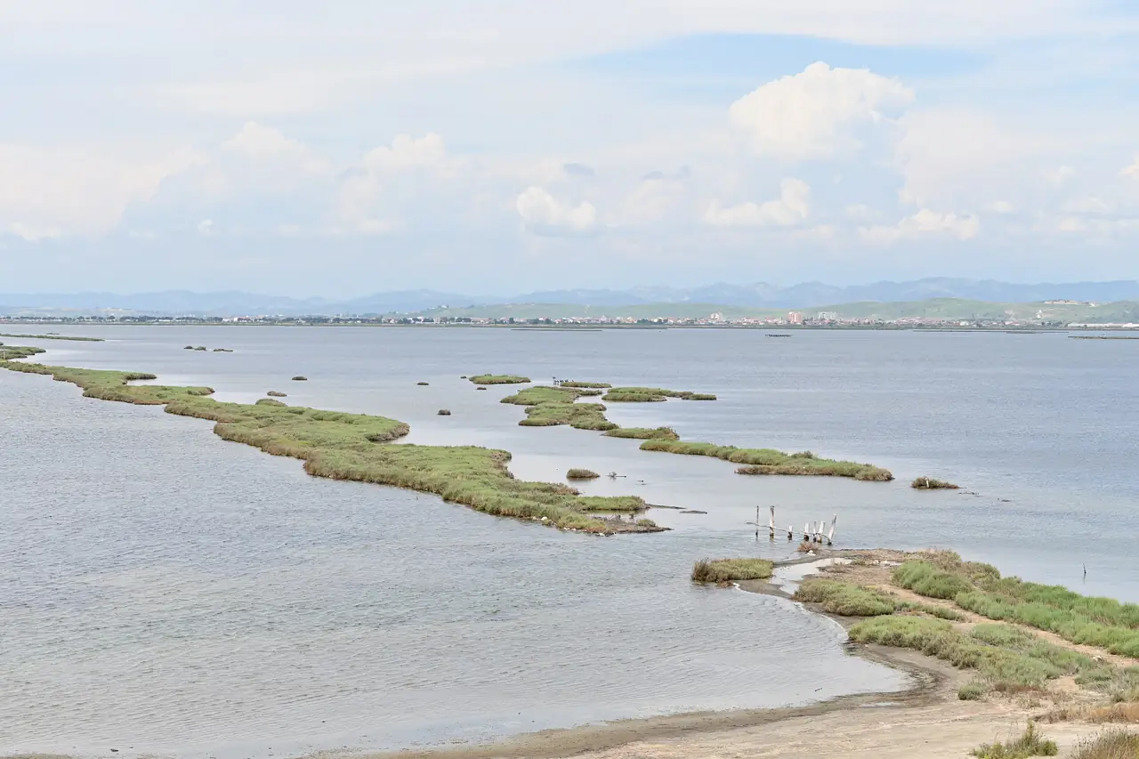
Karavasta Lagoon is the largest lagoon in Albania, about 42 km², cut off from the sea by a long sandy strip.1 Figures for its size vary from one source to the next: the 1994 decision records 3,967 ha, while the 1995 Ramsar sheet records 5,880 ha.2 Here we use the National Tourism Agency’s figure: about 42 km².
Brackish water, three channels
The lagoon is an enclosed body of brackish water. It reaches the sea through three channels that are maintained artificially. It has no direct link with the Shkumbin and Seman rivers, so its fresh water comes from the farmland and hills around it.3
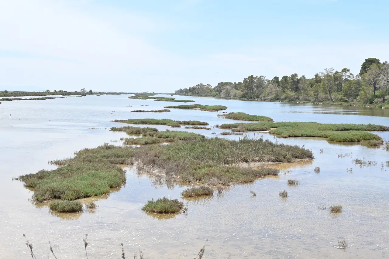
Karavasta has a shallow inner lagoon with many peninsulas and small, low islands, and a smaller outer lagoon.4 Around it lie smaller lagoons called godulla, such as the Dajlan godulla, as well as old beds of the Seman and the Shkumbin.5
A coast on the move
According to the EUCC description, the lagoon began to form about four centuries before that description was written (2009) and reached its present outline early in the 19th century. The godullas began to form between the late 19th and the early 20th century, and they are still changing.6
Where the name comes from
The name Karavasta is first recorded in 1297, when men of the Matarango family, “de Caravastasi”, robbed a ship anchored in the lagoon. The word comes from the Greek karavostasi, “place of anchorage”, which suggests the lagoon was navigable in the Middle Ages.2
Fishing
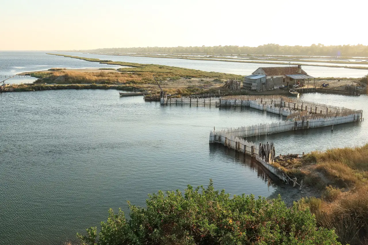
Only traditional fishing methods are allowed in the lagoon.7 The main commercial species are eel, grey mullet, gilthead seabream and European seabass. According to a 2023 study, the fish yield fell from 61.95 kg/ha in 1975–80 to 31 kg/ha in 2020.8
How to see it
From the 360° Tower next to the Visitor Centre you see the forest, the lagoon and the sea at once.9 Boat trips on the lagoon’s calm water take you through hidden channels and reed-covered islets.1 The boats keep their distance from Pelican Island, which is closed to the public.10
The figures and dates on this sheet come from the sources below, opened on 23 October 2026. Where sources give different values, we show them as a range.
Sources
- 01AKT – Karavasta lagoon · Agjencia Kombëtare e Turizmit (AKT) · accessed 23 October 2026
- 02Wikipedia (EN) – Karavasta Lagoon · Wikipedia (EN) · accessed 23 October 2026
- 03Ramsar Information Sheet, Karavasta lagoon ecosystem (1995) · Ramsar Sites Information Service · accessed 23 October 2026
- 04Key Biodiversity Areas – Karavasta Lagoon (2904) factsheet · Key Biodiversity Areas · accessed 23 October 2026
- 05MedWet Managers Network – Karavasta Lagoon Ecosystem (updated Feb 2022) · MedWet · accessed 23 October 2026
- 06Enviweb – Laguna Karavasta - Divjaka (EUCC coastal guide text) · Enviweb (EUCC) · accessed 23 October 2026
- 07Council of Ministers Decision No. 413 of 22.08.1994 on the Lagoon of Karavasta and the Park of Divjaka (FAO FAOLEX) · FAO FAOLEX · accessed 23 October 2026
- 08Overfishing and recent risk for collapse of fishery in Karavasta lagoon – Fisheries and Aquatic Sciences (2023) · Fisheries and Aquatic Sciences · accessed 23 October 2026
- 09National Tourism Agency (AKT) – Divjakë–Karavasta National Park · Agjencia Kombëtare e Turizmit (AKT) · accessed 23 October 2026
- 10AKT – Pelican Island · Agjencia Kombëtare e Turizmit (AKT) · accessed 23 October 2026